
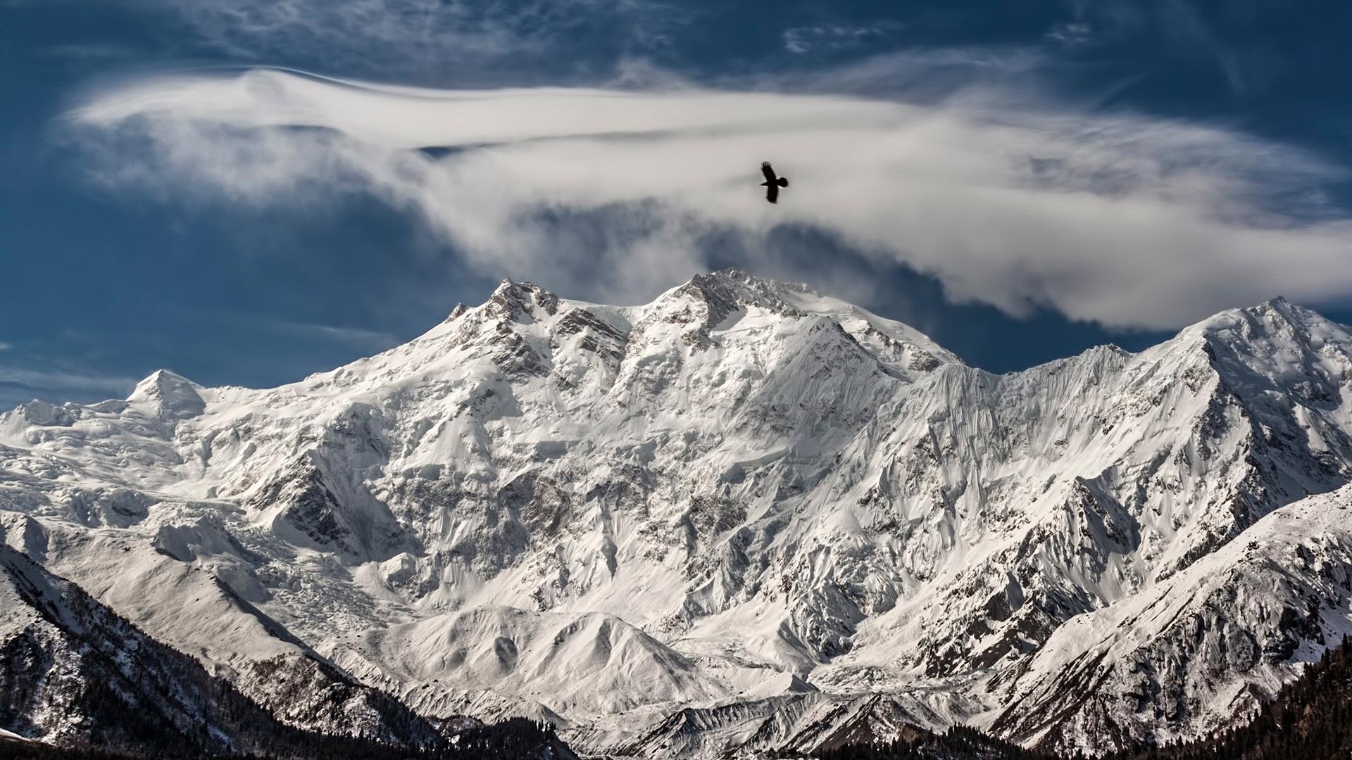
Very Difficult
Gilgit-Baltistan, Pakistan
Nanga Parbat Trek
The Nanga Parbat trek is a 7–9 day route in Pakistan's Gilgit-Baltistan to base camps of the world's 9th highest peak, starting from Fairy Meadows at 2,865 m.
8 days 8,126 mJul – Sep
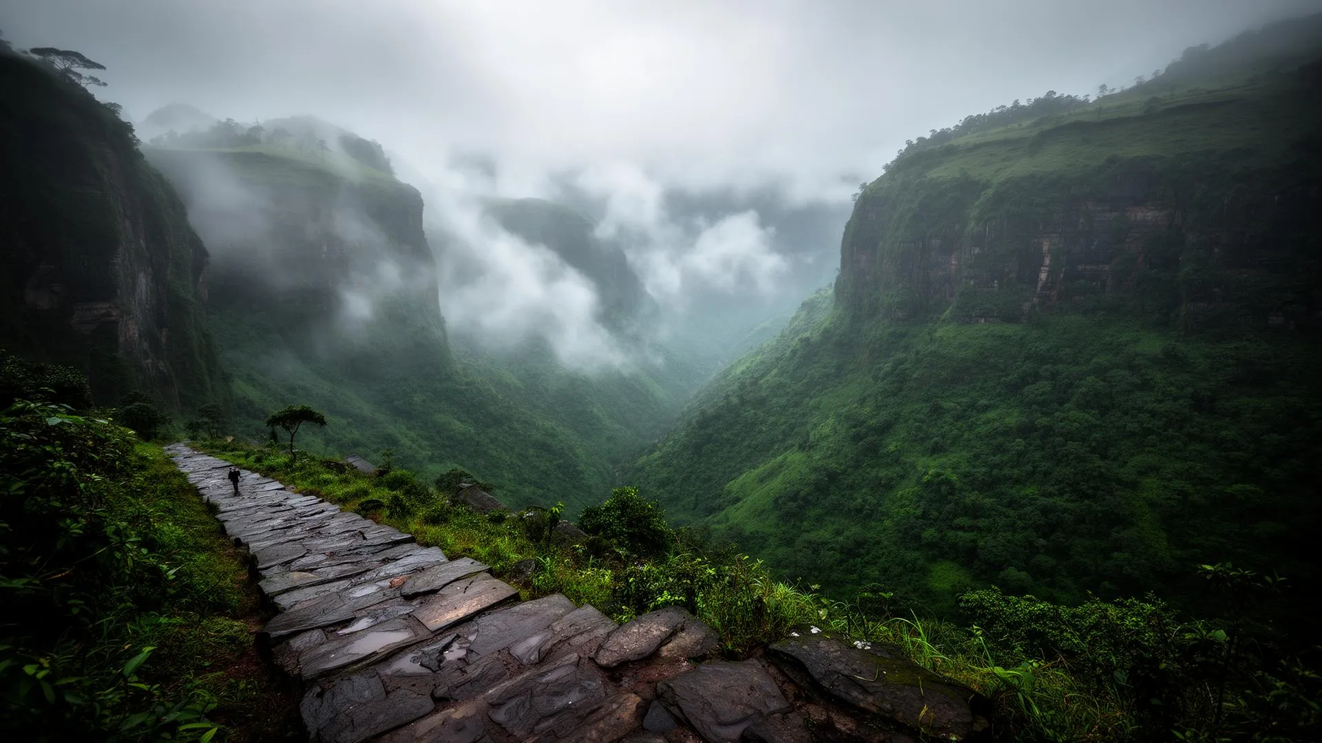
When the monsoon closes most of the Himalaya, the Western Ghats come alive. Through July, August and September the Sahyadri forts of Maharashtra run with waterfalls, the forests of Karnataka and Coorg turn a brilliant green, and, tucked away in the rain shadow of the main range, Ladakh and Spiti stay dry and walkable.
The high Himalaya is prone to landslides and leeches in the rains, but the Sahyadris are at their dramatic best, and the rain shadow deserts of Ladakh offer the only reliable high altitude trekking of the season. It is the time to trade snow for green and to walk historic fort trails in the cloud.
Monsoon trekking is a completely different country. Instead of snow peaks you get misty ramparts, roaring waterfalls and cloud pouring over basalt cliffs. It calls for good rain gear and respect for fast rising water, but it delivers some of the most atmospheric and affordable trekking of the year, all within a few hours of Mumbai, Pune and Bengaluru.
The Nanga Parbat trek is a 7–9 day route in Pakistan's Gilgit-Baltistan to base camps of the world's 9th highest peak, starting from Fairy Meadows at 2,865 m.
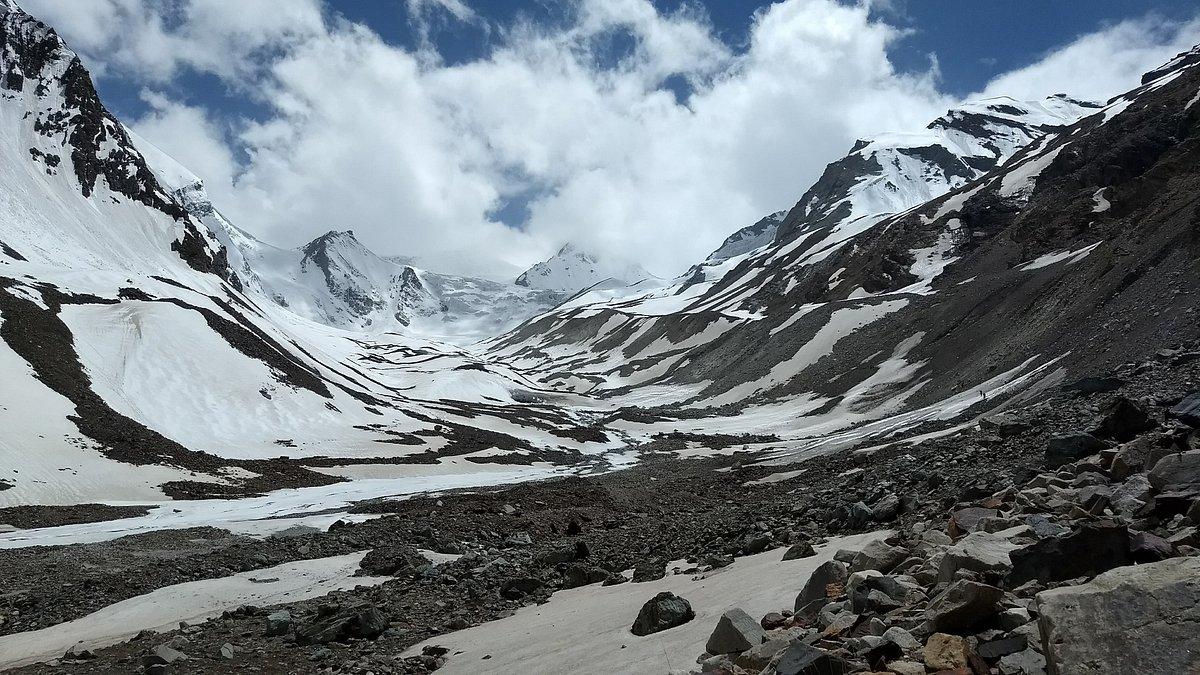
Lamkhaga Pass Trek connects Chitkul (Himachal Pradesh) to Harsil (Uttarakhand) via a 5,282 m glaciated crossing — a 7–8 day, Grade D route for experienced Himalayan trekkers only.
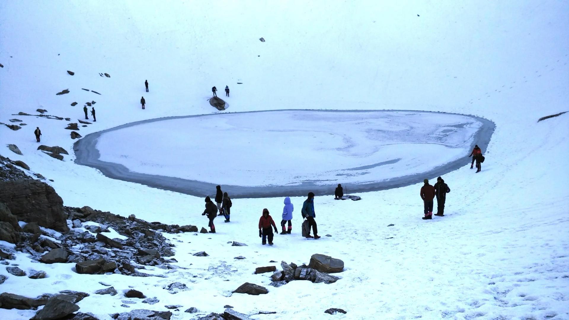
Plan your Roopkund trek with our 2026 guide: route, itinerary, permits, costs, best time & packing list for India's mysterious Skeleton Lake at 5,029 m.
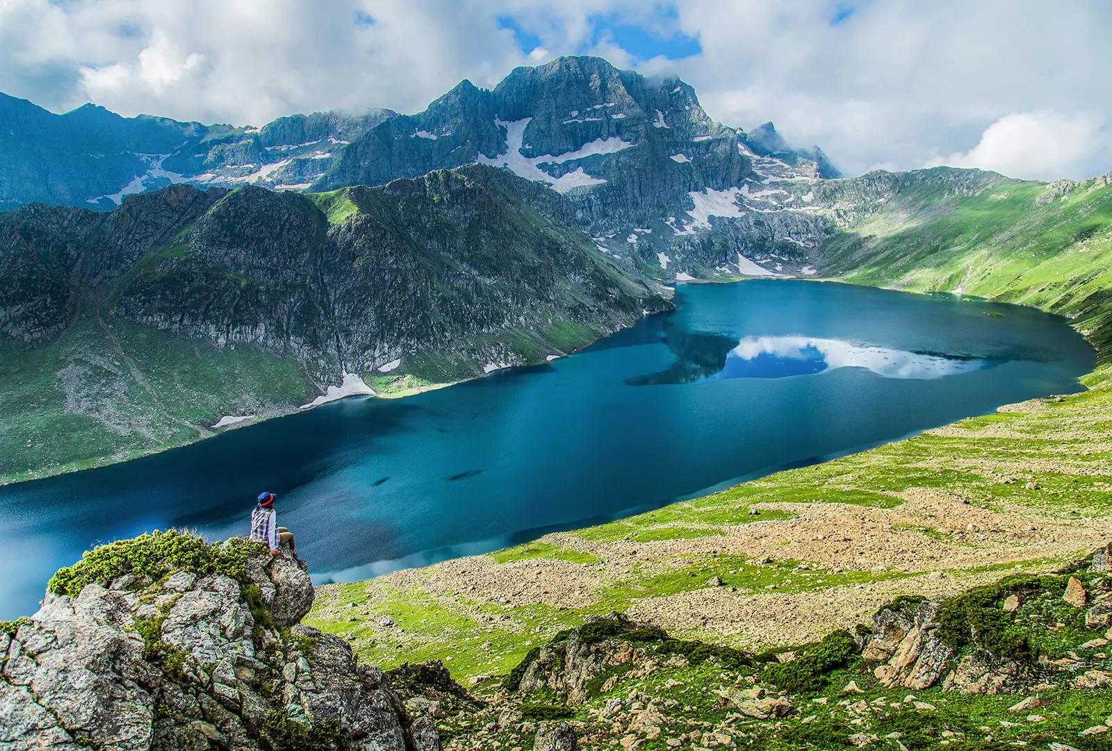
The Tarsar Marsar Trek is a 6–7 day, ~50 km alpine lake circuit in Kashmir's Pahalgam Wildlife Sanctuary, reaching 4,100 m via Tarsar Pass.
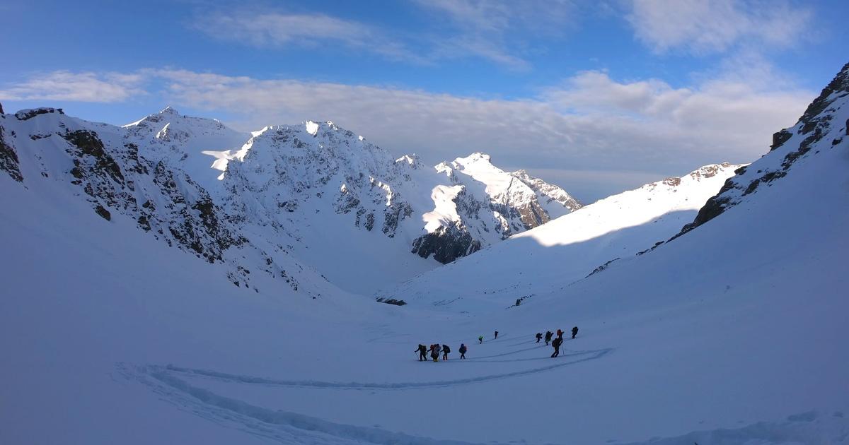
The Buran Ghati Trek is a difficult 40 km trail in Himachal Pradesh crossing a 4,700 m pass with India's only glacier rappel descent on a mainstream trek.
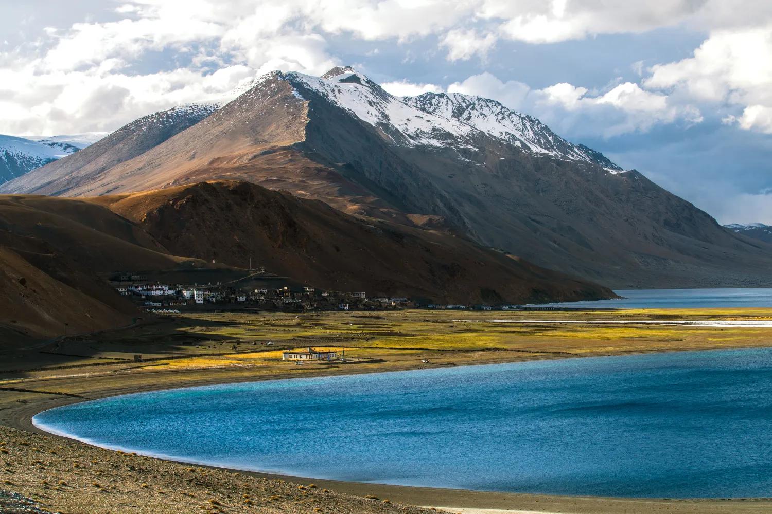
The Rumtse to Tso Moriri trek is an ~80 km, 7–8 day strenuous Ladakh trail crossing Kyamar La (~5,460 m) and Polokongka La (~5,190 m), ending at Tso Moriri Lake
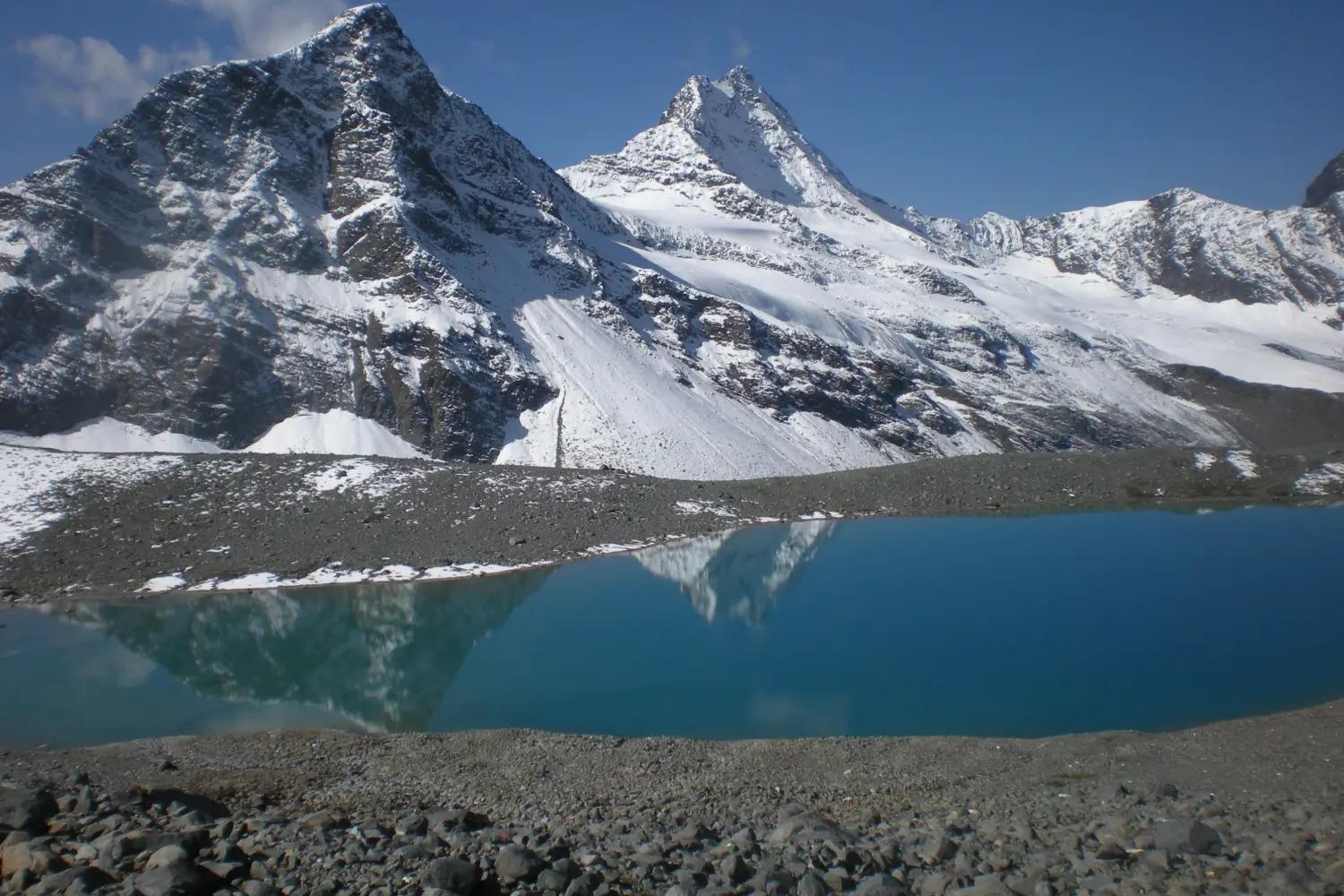
The Bara Bhangal trek is a 65–70 km, 7–8 day difficult trek in Himachal Pradesh crossing Thamsar Pass (~4,708 m) to reach one of India's most remote villages.
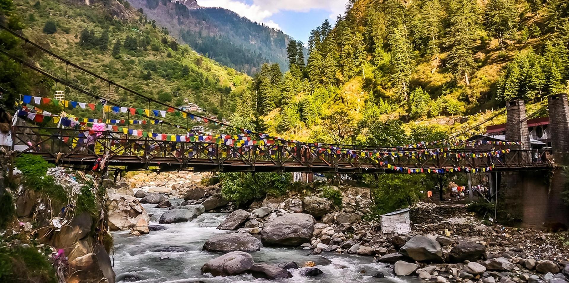
The Kheerganga trek is a 12–13 km Easy–Moderate trail in Parvati Valley, Himachal Pradesh, reaching natural hot springs at ~2,960 m. Best time: May–June & Sep–Oct.
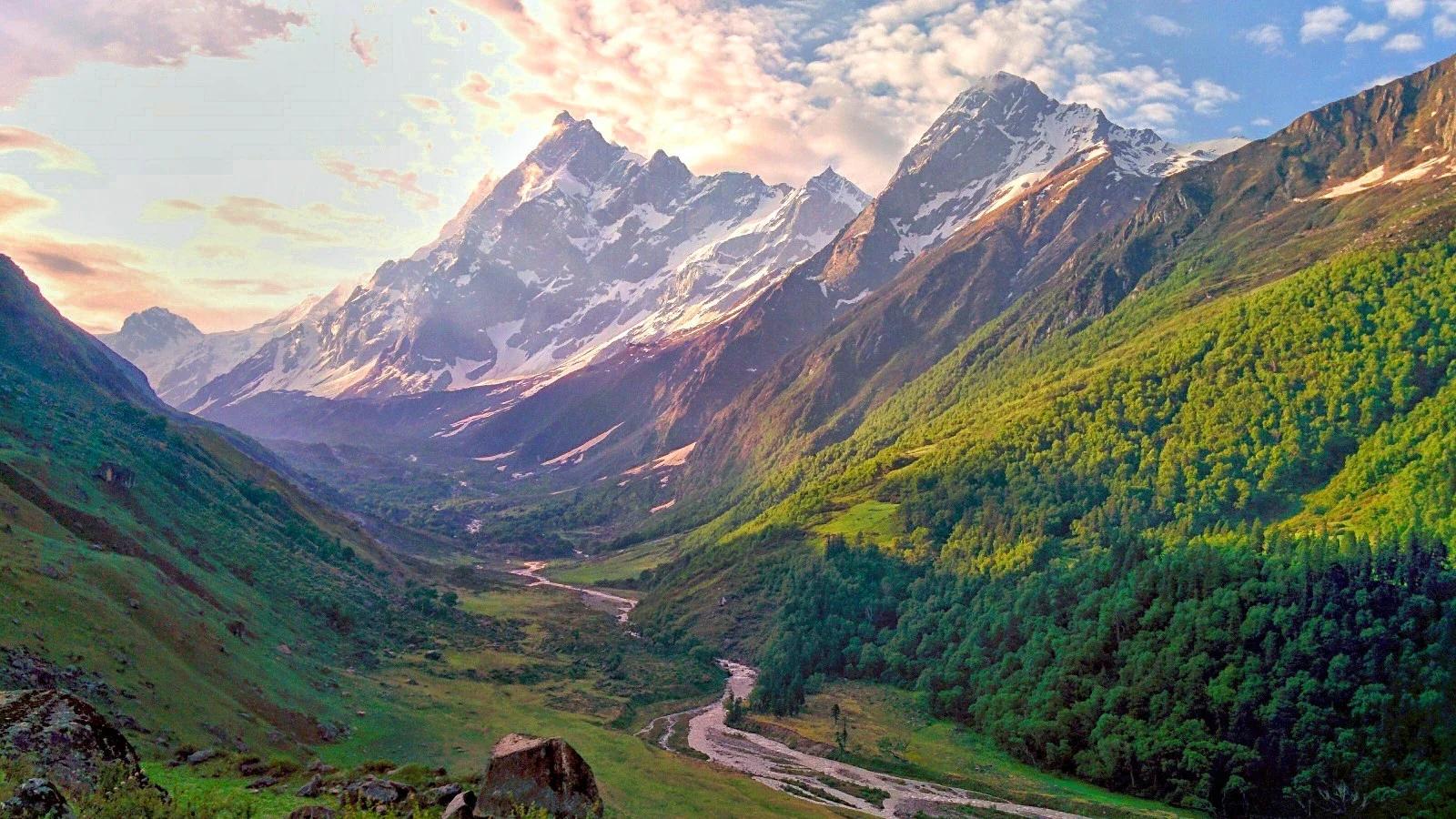
Har Ki Dun trek is an easy-to-moderate, 47 km round-trip trail in Uttarakhand's Garhwal Himalayas, reaching 3,566 m with no technical climbing required.
How the top monsoon treks stack up on difficulty, duration, season and altitude.
| Trek | Difficulty | Duration |
|---|---|---|
| Nanga Parbat Trek | Very Difficult | 8 days |
| Lamkhaga Pass Trek | Very Difficult | 8 days |
| Roopkund Trek | Difficult | 8 days |
| Tarsar Marsar Trek | Moderate–Difficult | 7 days |
| Buran Ghati Trek | Difficult | 7 days |
| Rumtse to Tso Moriri Trek | Very Difficult | 8 days |
| Bara Bhangal trek | Difficult | 7 days |
| Kheerganga Trek | Easy–Moderate | 3 days |
| Har Ki Dun Trek | Easy–Moderate | 6 days |
| Month | Conditions |
|---|---|
| July | Peak monsoon in the Ghats with full waterfalls, heavy rain and leeches out. |
| August | Deep green everywhere, with slick basalt and active leeches in the Sahyadris. |
| September | The rain tapers off and the Sahyadris are at their greenest and finest. |
Avoid the main Himalaya for landslide and leech reasons, and in the Ghats focus on waterproofing, grip and stream safety.
Heavy, persistent rain and leeches in the Western Ghats, and dry, cool, sunny weather in rain shadow Ladakh and Spiti.